Slide 3
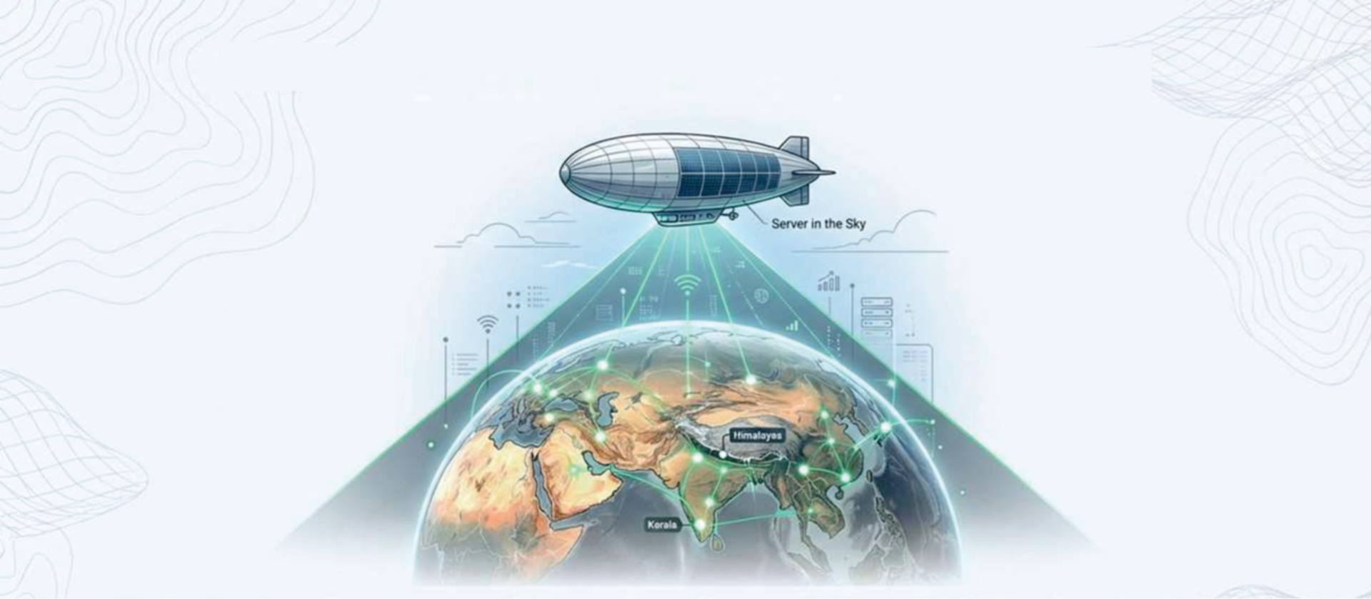
Aarohan: The Stratospheric Sentinel

Aerial Autonomous Reconnaissance, Observation & Offensive Hub for Homeland Awareness

previous arrow
next arrow
SIIC IIT KanpurSIIC IIT KANPUR
LowCarbon.EarthLOWCARBON.EARTH
SBI FoundationSBI FOUNDATION
5G/6G COE IIT Kanpur5G/6G COE IIT KANPUR
MeitY / IndiaAIMEITY / INDIAAI
IISRIISR
StartInUPSTARTINUP
SIIC IIT KanpurSIIC IIT KANPUR
LowCarbon.EarthLOWCARBON.EARTH
SBI FoundationSBI FOUNDATION
5G/6G COE IIT Kanpur5G/6G COE IIT KANPUR
MeitY / IndiaAIMEITY / INDIAAI
IISRIISR
StartInUPSTARTINUP

Achievements & Recognition

Validated by India’s top innovation ecosystem — every achievement independently verified.

IndiaAI Innovation Challenge 2024 - Winner

Winning solution recognized by Ministry of Electronics & IT, Government of India. Felicitated by Hon'ble MeitY Minister at international event with 130 countries.

LowCarbon.Earth 2026 Cohort

Selected for UNEP-backed global climate-tech accelerator bootcamp.

Incubated at SIIC, IIT Kanpur

Part of the Udaan Startup Acceleration Program at India's premier technology incubator.

SBI Foundation LEAP Grant Recipient

Selected for the SBI Foundation LEAP grant program administered through SIIC IIT Kanpur.

5G/6G Centre of Excellence - Cohort 1

Selected for Telecom 5G/6G CoE program supported by StartIn UP, Government of Uttar Pradesh.

Products at a Glance

Three platforms. Infinite possibilities. Built to solve the challenges that matter most.

TerraLux

Illuminating Earth's Intelligence

AI-powered geospatial intelligence platform for landslide susceptibility mapping and early warning systems. Automates satellite data ingestion to risk map generation, processing 250+ geomorphological indicators with physics-informed AI.

Aarohan

A Persistent Eye in the Sky

High-Altitude Platform Station (HAPS) program — a solar-powered stratospheric airship operating at 18–22 km for persistent surveillance, resilient 5G/6G communications, and drone-swarm command-and-control.

Nimbus

Intelligence, Elevated

AI-driven geospatial intelligence for precision agriculture, analyzing satellite and drone imagery for field-level infestation detection and zone-based prescriptions that reduce chemical usage and improve productivity.

What Sets Us Apart

Why Jarbits

Deep-Tech DNA

Founded on rigorous research and engineering. We build technology that solves real-world problems at their core — from physics-informed landslide prediction to precision agriculture AI.

Product + Services Hybrid

Unlike pure consultancies, we combine proprietary platforms (TerraLux, Aarohan, Nimbus) with custom engineering and advisory.

Nationally Recognized

Winner of IndiaAI Innovation Challenge 2024, incubated at IIT Kanpur’s SIIC, selected for LowCarbon.Earth — validated by India’s top innovation ecosystem.
.

Impact by the Numbers

0
Vulnerable Districts Addressable
0
Population Exposed to Landslide Risk
0
Cost Reduction vs Traditional GIS
0
Timeline (from 6–12 months)
0
Geomorphological Indicators
0
Flagship Products
0
Countries (Client Presence)

Focused Sectors

🌍
Geospatial AI & Analytics
Geospatial Intelligence

Geospatial AI & Analytics

National-scale landslide risk assessment using physics-informed AI models, satellite imagery analysis, and multi-source geospatial data fusion — protecting millions across India's hill states.

TerraLux Satellite Imagery Risk Mapping Early Warning
🌾
Precision Agriculture
AgriTech Intelligence

Precision Agriculture

AI-driven field-level infestation detection, susceptibility mapping, and zone-based prescriptions that reduce chemical usage and improve crop productivity.

Nimbus CanePilot jGCS OBIA Analysis
🚀
Autonomous Aerial Systems
Aerial Intelligence

Autonomous Aerial Systems

High-altitude pseudo-satellite (HAPS) airship at 18–22 km for persistent surveillance, resilient 5G/6G communications, and drone-swarm command-and-control.

Aarohan HAPS Drone Swarm C2 Edge AI
📡
Defense & Communications
Strategic Tech

Defense & Communications

Beyond-line-of-sight communications, resilient 5G/6G relay networks, and autonomous ISR capabilities for strategic and defense applications.

BLOS Comms 5G/6G Relay ISR Edge Computing
🛡️
Disaster Risk Reduction
Resilience Engineering

Disaster Risk Reduction

AI-powered early warning systems, resource pre-positioning, and evacuation planning — reducing risk assessment costs by 60–70%.

TerraLux Early Warning Evacuation AI Risk Analytics
🏗️
Smart Infrastructure
Urban Intelligence

Smart Infrastructure & Planning

Route optimization through landslide-prone terrain, safe zoning for hillside construction, and GIS-powered urban development planning.

GIS Solutions Route Planning Zone Safety Terrain Analysis

Testimonials