Three platforms. Infinite possibilities. Built to solve the challenges that matter most.
TerraLux
Illuminating Earth's Intelligence
AI-powered geospatial intelligence platform for landslide susceptibility mapping and early warning systems. Automates satellite data ingestion to risk map generation, processing 250+ geomorphological indicators with physics-informed AI.
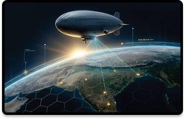
High-Altitude Platform Station (HAPS) program — a solar-powered stratospheric airship operating at 18–22 km for persistent surveillance, resilient 5G/6G communications, and drone-swarm command-and-control.
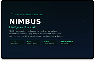
AI-driven geospatial intelligence for precision agriculture, analyzing satellite and drone imagery for field-level infestation detection and zone-based prescriptions that reduce chemical usage and improve productivity.